Walk Smarter: Uncovering the City’s Hidden Footpaths

Today we explore mapping pedestrian shortcuts and desire paths for urban walkers, translating everyday footsteps into collective knowledge. From grassy cut‑throughs behind schools to alley links between busy avenues, we’ll chart, compare, and celebrate these lived routes, inviting you to contribute stories, GPS traces, photos, and local wisdom that help everyone move with confidence.

Why Unofficial Paths Matter

Every worn line across grass or narrow opening through a fence tells a practical story about time, comfort, safety, and desire. By noticing and mapping these everyday decisions, we reveal barriers, highlight opportunities, and make walking easier for schoolchildren, shift workers, elders, and visitors who simply want the most humane route through the city.

How to Map What Feet Already Know

Start with curiosity, then combine simple tools with respectful observation. Walk at different times of day and seasons, trace lines with GPS or pencil, talk with people who rely on them, and compare notes with aerial imagery. Good maps emerge from patience, consent, and listening at eye level.

Tools That Turn Steps into Insight

Digital and analog options suit every comfort level. OpenStreetMap records paths for the world to see, QGIS reveals patterns and densities, and simple template maps help when phones die. The best toolkit is the one your community enjoys using together week after week.

OpenStreetMap Etiquette

Map informal paths responsibly by tagging access, surface, and visibility. Use footway with informal and surface values, explain edits in changesets, and add notes when uncertain. Ask local mappers for feedback. Respect closures, avoid trespass, and prefer verifiable, lawful links that genuinely serve daily walkers.

QGIS for Pattern Hunting

Combine GPX tracks from different weeks, run heat or density analyses, and spot where flows concentrate before crossings, bus stops, or school gates. Add lighting layers, crash data, and sidewalks to reveal mismatches. These insights guide small fixes that unlock safer, smoother walking networks.

Designing with Desire Paths

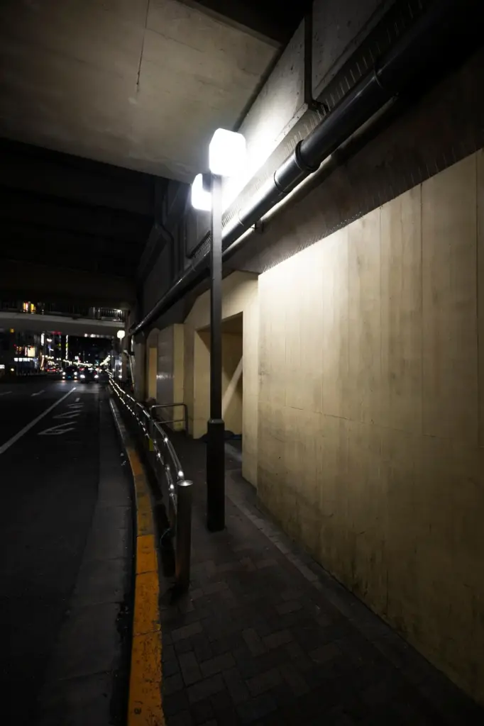
Once patterns are visible, design follows feet. Align crosswalks with actual desire lines, legalize cut‑throughs with clear signage, add lighting and benches where people already pause, and soften edges that force detours. Small, targeted changes respect human intuition and save money compared with grand, unused infrastructure.

When a Shortcut Crosses a Line

Some paths slice across private land that welcomes passage informally. Approach owners respectfully, explore permits or easements, and discuss signage that clarifies expectations. If negotiations fail, map alternatives and highlight risks, ensuring walkers are not encouraged into conflict or legal trouble by enthusiastic cartography.

Lighting, Eyes on the Street

Borrow wisdom from Jane Jacobs while updating for modern contexts. Encourage homes and shops to face paths, add modest bollard lights, prune shrubs, and invite evening foot traffic. Friendly surveillance reduces fear, and simple bulbs often deliver more comfort than flashy sensors or cameras.

Get Involved and Share Your Footprints

Your knowledge makes this work alive. Tell us about the path behind the clinic, the stairs by the mural, and the alley that saves you from a noisy avenue. Submit traces, photos, and stories, subscribe for updates, and join neighborhood walks that welcome everyone.
Lozefavozimevivoti
Privacy Overview

This website uses cookies so that we can provide you with the best user experience possible. Cookie information is stored in your browser and performs functions such as recognising you when you return to our website and helping our team to understand which sections of the website you find most interesting and useful.